College of Arts and Sciences
Discover blog posts focused on Kent State University’s College of Arts and Sciences, showcasing programs that merge technology, social science, and practical applications. Explore degrees such as Cybercriminology, Integrative Studies, and Public Administration, as well as insights into Geographic Information Science (GISc). Learn how these programs help students prepare for dynamic careers through interdisciplinary approaches, faculty expertise, and cutting-edge research.
Related Blog Posts
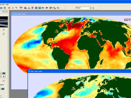
From global climate change to regional virus outbreaks, geographic information systems (GIS) are used to analyze and answer an entire spectrum of issues associated with geographic space. The researchers and analysts addressing these issues typically have academic degrees in Geographic Information Science (GISc), providing the scientific knowledge, skills and training in specialized computer-based GIS apps.1 Tech-based careers requiring degrees in GISc include a wide variety of fields such as national defense, meteorology, climatology, marine sciences, earth sciences, energy production, biotech, agriculture, healthcare, law enforcement, real estate, logistics, infrastructure and disaster risk management and relief.
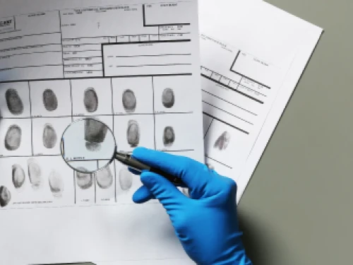
The use of telephonic communications to solve criminal cases is not a new development but remains a highly controversial topic. Almost 20 years ago, the Los Angeles Times reported on how law enforcement agencies viewed mobile phones as “a powerful resource in investigations and trials.”1
Public sector government agencies are present in every city and town around the world, with employees undertaking a wide variety of projects aimed at improving their local community. These involve things like health and safety, transport infrastructure, parks and recreation, sewage and water, schools, hospitals and municipal buildings. As a public service, these agencies rely on government funding and, in many cases, don’t have access to the same high budgets that private sector companies have.
A degree in liberal studies allows you to translate skills and interests to match the career you want to make.
A liberal studies degree prepares you for a variety of career options. Instead of focusing on one specialization, you can focus on synthesizing many different areas into a holistic view.
Before you commit to an advanced degree such as a master’s of public administration, it’s important to consider whether it will be worth the investment of your time and money. For some people, an MPA program can be a life-changing experience that prepares them for professional success and greater personal fulfillment. For others, an MPA may not be the right choice.
It’s easy to think of technology as flashy and fun: the newest TikTok video, the latest virtual background, the most thrilling special effects. Though we may not realize it, technology also plays an enormous role in the progress and achievements of the public sector.
As noted elsewhere on this site, “Broadly speaking, the public sector refers to any part of a state or national economy that is tied to public programs or services and is controlled by the government.” You may find public sector employment opportunities in the military, law enforcement, organizations managing infrastructure (public roads, bridges, tunnels, water supply, sewers, electrical grids, telecommunications, and so on), departments of public transit or public education, and in healthcare and the government itself.
Now, more than ever, the U.S. justice system needs skilled law enforcement officers to assist in protecting the innocent, keeping the peace and achieving the ends of justice. From lawyers and secret agents to forensic analysts and probation officers, there are many high-paying jobs within law enforcement. According to the Bureau of Labor Statistics (BLS), the median criminal justice degree salary in 2019 was around $81,820.1
You’re tech-savvy and fascinated by geography, but is there a career in that? Consider this, from the geographic information system company Esri:
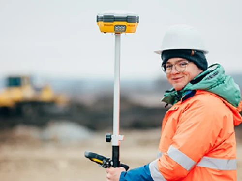
Whether you thrive in the sunshine or the snow, near water or mountains, in big cities or under big sky, we have good news for you: there are geographic information science jobs all over the country.
Geography Professor Scott Sheridan has been named a recipient of the 2020 Outstanding Research and Scholarship Award (ORSA). Sponsored by the University Research Council and the Division of Research and Economic Development, this award honors Kent State’s exceptional researchers and scholars. Recipients are selected based on the quality of their research and scholarship, and its impact on society.
Many companies hire MPA graduates knowing that the skills they’ve acquired are as valuable in the for-profit sector as they are in the government and not-for-profit worlds. Among the many companies likely to hire MPA graduates, these 10 stand out.
Today’s criminal justice system faces unique challenges that demand highly trained, dedicated professionals. In the area of criminal justice policy, there are exciting careers in community policing and enforcement, the treatment and rights of victims in the criminal justice process, and current issues and practices in homeland security and cybersecurity. These specializations offer many opportunities for rewarding, well-compensated careers that are in high demand. For example, job opportunities for private detectives and investigators are projected to grow by eight percent by 2029, while those for information security analysts will grow by 31 percent.1,2
Intrigued by thoughts of international security jobs? Many people have built top-level, lucrative careers with government agencies, non-governmental organizations (NGOs), private contractors, foundations and think tanks.1
When you think of “public administration,” you may envision managing budgets for a city transportation department or improving the efficiency of a town’s public health division. But for graduates with a master’s degree in public administration, there are many career possibilities that might not come to mind right away. A public administrator plans, organizes, directs, coordinates and controls operations in a government office, private company or nonprofit organization. This can be in positions as diverse as that of a community health director or the budget director at an environmental justice nonprofit. An MPA opens a world of opportunities.
Intelligence-led policing (ILP) is a system of law enforcement that was first developed in the 1990s and grew in popularity in the U.S. after the September 11, 2001 terrorist attacks.1,2 This policing model relies on advanced data analytics, community involvement, and collaboration with other law enforcement agencies and organizations. Through shared intelligence and firsthand observation, police can be proactive rather than reactive in assessing risk, which has been shown to be an effective method for preventing crime.2
When we ask what organization has the goal of maintaining international peace and security, an answer that quickly comes to mind is the United Nations (UN). Founded in 1945, in the aftermath of World War II, its central mission is “the maintenance of international peace and security.”1 However, with today’s interconnected world and challenging cross-border issues, there are many peacekeeping groups that work together to help maintain stability around the world. In addition to the UN and its different bodies, including the General Assembly and Security Council, there are strategic partners, governmental and non-governmental organizations, and a vast array of independent nonprofit research facilities and advocacy organizations, all focused on global peace and security.
Respond to the need for change in your community. The NASPAA-accredited Kent State Master of Public Administration program will prepare you to focus on ethical leadership, budgeting and financial management in the private and nonprofit sectors, while you learn to comprehend and utilize complex nonprofit and public sector laws and strategic planning.
This year, discussions of criminal justice reform in this country have changed a great deal. In our presidential primaries, a record number of Democratic candidates’ platforms included the importance of reform.1 The COVID-19 pandemic and recent social justice protests have brought to light ways in which our entire system, including criminal justice and law enforcement, disproportionately affects poor communities and minorities.2
Careers in government and public administration often attracts idealistic people who want to make a difference in our democracy and in the lives of their fellow citizens. But what does it actually take to become a leader in bureaucratic structures at the municipal, state and federal levels?
When you tune in to a local weather forecast or reach your destination with the help of a GPS device, you’re reaping the benefits of geographic information system (GIS) remote sensing technology. GIS was first applied in the 1960s to collect and analyze data regarding land usage. Today, there are a myriad of GIS applications ranging from urban planning to predicting the environmental effects of climate change. GIS technology continues to develop, creating an ever-increasing need for skilled professionals.1
There are many reasons to choose to pursue a career in the public sector rather than in the business world. Often, people are drawn to public or nonprofit careers because doing so gives them an opportunity to do good and enact change for the better, rather than just increasing profits for a corporation. But even if you know you want to work in government or at a nonprofit organization, the exact path you follow can vary greatly.
If you’re researching either geographic information systems or geographic information science, it can sometimes be difficult to distinguish one from the other. Although geographic information science is often confused with geographic information systems, and the two terms are closely related, they are not perfectly interchangeable.1
If you enjoy leading others, improving systems, overcoming complex challenges and helping shape the direction of a business or organization, you might be a good candidate for the role of director of administration.
“What does a public administration salary look like?” The path to public good is a personal one, but odds are nearly every person entering the field wonders what kind of salary they can expect. When you think about public administration your mind may automatically drift toward thoughts of government and nonprofit roles, but there are lucrative roles in the private sector as well. What you do with your degree and experience is entirely up to you. You could find roles in government service, nonprofit organizations, or the private and public sectors. Below, we’ll explore roles in each of these categories and discuss the potential public administration salaries for various careers.
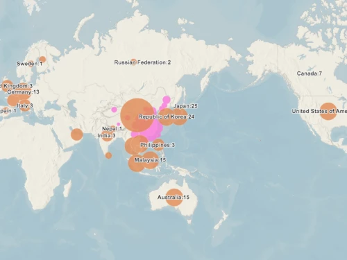
Discover how mapping coronavirus transmission can prevent outbreaks in countries outside of mainland China.
Geographic information science (GISc) is a broadly applicable degree that can be used in many fields around the world, including healthcare, climatology, urban development, national parks and more.1 Working in GISc could take you to places as different as a laboratory or the deep wilderness. For example, you might use the skills you have learned to protect the environment, study volcanic activity in other areas of the world, or support the homeless population in your city.2 If you have an analytical mind and are good at visualizing information, you can use GISc technology to tell stories that help others and better understand and serve the world around you in countless different ways.
Geographical information systems (GIS) are the backbone for geographical science and all its related fields. Modern geography uses sophisticated, highly specialized technology to gather, analyze and report on data about positions on Earth’s surface.1
If you want to understand the world around you — literally — there is no better way than by studying geographical science. This field uses technology to answer important questions about our world: Why are different places the way they are? What is the relationship between people and where they live? How can we best take care of our planet and its unique natural characteristics?1

