
Author: Katherine Jurak, Kent State University
A new course for the online Master’s in Geographic Information Science (MGISc)
Like Dorothy in The Wizard of Oz, Kent State University adjunct instructor Laura Schuch wants us to keep our eyes on the man behind the curtain. When it comes to consuming and creating visualizations of data, she says, “You always have to ask who’s presenting the information, what’s the possible bias, how can data lead to misrepresentation.”

In other words, whenever we look at a chart, graph, or map, we’re being told a story, one that’s influenced by the many choices a researcher has to make to gather, collate, and contextualize their findings. This isn’t to say that all studies or graphics are compromised by bias, but rather that analysis by its very nature involves concentrating on a piece of a complex whole, and that translating natural truths into words and images necessarily changes them in some way.
The topic can get heady pretty quickly. Luckily for her students, however, Schuch is more interested in helping them think critically than questioning the fabric of reality. “I love getting to be a part of these conversations as a teacher,” she says. “[Geographic information science] isn’t just about the nuts and bolts of GIS technology. We have even more responsibility when our work is on the web because of the reach of the internet.”
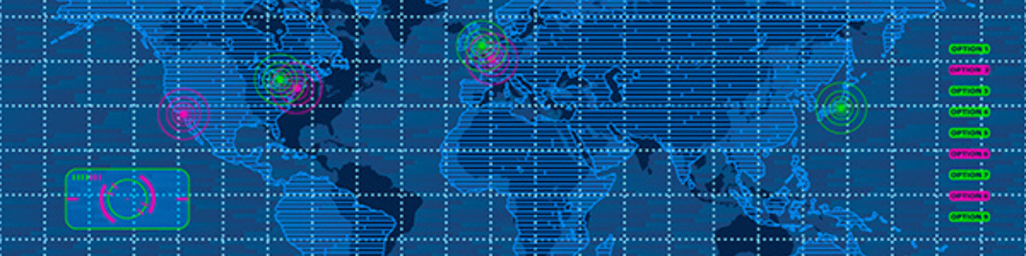
To this end, Schuch is creating a new course for the online Master’s in Geographic Information Science (MGISc) program in which students will learn the best practices of working with the GIS-specific presentation software ArcGIS StoryMaps by ESRI to create compelling web mapping applications. For example, StoryMaps has been created to show how climate change has affected Florida’s citrus industry and how trees planted through the Great Lakes Restoration Initiative have prevented flooding by trapping runoff from storms (ESRI).
Although these projects can be based on a student’s personal research interest or passion project, Schuch says that she encourages students who are currently working with GIS tools in their jobs to take the opportunity to create narratives that can help to better communicate the mission of a project. “The MGISc has been fantastic for working professionals,” she says, and she would know: along with her Ph.D. in geography and master’s in public health, Schuch also brings a wealth of practical experience with web and mobile GIS to the classroom through her role as the Geographic Information Systems Manager and Drone Program Manager for the Cleveland Metroparks.
The course is slated to launch in the academic year 2024-2025.
Chart a Brighter Future with Kent State Online
Kent State University’s 100% online Geographic Information Science master’s program helps you advance your career through a combination of essential theory and applied skills, including technology, analysis, and programming.
Rise above candidates from GIS graduate programs that focus narrowly on technology with help from our program designed for busy working professionals and students seeking graduate education.
References
ESRI. (2024, March 6). ArcGIS StoryMaps: Overview.
https://www.esri.com/enus/arcgis/products/arcgis-storymaps/overview


