
From Our Very Own: Kent State University’s Department of Geography Chair Scott Sheridan
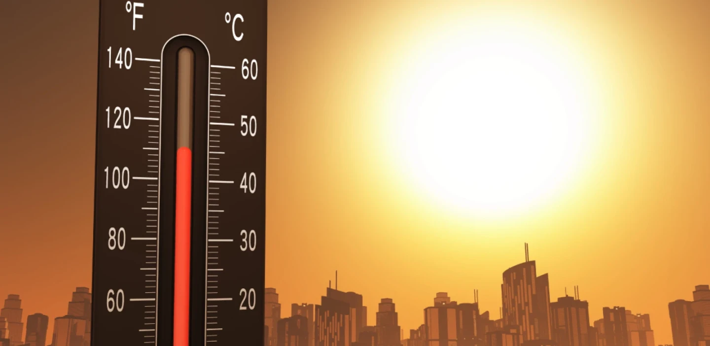
In the modern world, media is saturated with images of natural disasters and their impacts on human health and infrastructure. And while the most memorable images for many are of the damages done by hurricanes, tornadoes or earthquakes, in the U.S., the deadliest atmospheric hazard over the last few decades has been excessive heat. While everyone generally knows the advice to take it easy during hot weather, it tends to get much less attention than other hazards because its impacts are not nearly as visibly dramatic. This said, several hundred people a year in the U.S. on average still die from excess heat.
How can heat turn deadly? The human body likes to be in what we call thermal equilibrium, meaning that the heat we generate is dissipated proportionally to keep our body temperature at normal levels. When the weather gets hot, and our bodies are taxed, we typically deal with this in two ways: vasodilation, and sweat. Vasodilation means our blood vessels get wider so that we can get more blood from the core of our body to the skin, where we can radiate away the heat—this is why we look flushed.
Sweating works through evaporative cooling, whereby the evaporation of sweat from our skin is something that requires what we call latent heat cooling our skin and hence our bodies. These work well for us of course, but up to a point. If conditions get too hot, to where the air temperature is warmer than our body temperature, we cannot radiate heat away–in fact, we gain heat. And sweating works best when it can readily evaporate, meaning it works much better in drier conditions than muggier ones.
So how do we study heat’s impact on health? It is a very geographic issue, beyond just the physiology of our body. We study the local environment on a number of scales—we know cities are warmer than rural areas due to the urban heat island. Among the latest in research, however, is the study of “individually experienced environments,” that is, that two people living nearby one another may have very different thermal experiences over time.
In the Chicago heat wave of 1995, people living on higher floors in apartment buildings were more likely to die from the heat than those on lower floors, since their apartments were warmer. People that work outdoors have very different days than those that spend almost all of their time indoors. Moreover, while we typically think about the high temperatures outside in the afternoon, many studies have shown that it’s the overnight temperatures that are more important—when it doesn’t cool off overnight, inside temperatures stay much higher, and there’s a lack of relief from the heat. During heat events, if the outdoor temperature stays high overnight for several days in a row, temperatures inside will continue to increase.
Nevertheless, communities need to have some benchmark for deciding when heat is expected to become potentially hazardous to humans. Interestingly, on the larger scale, this isn’t the same temperature everywhere, and reflects another geographic issue, which is acclimatization. If you plot up average daily numbers of deaths vs. temperature, you’ll see that in places like Phoenix, the airport temperature has to reach well above 100°F before humans are broadly impacted, whereas in a place like San Francisco, if the temperature reaches 80°F there are already negative health effects.
This is a reflection of a number of factors. Some of them are related to housing—for instance, Phoenix has much more air conditioning and houses are built to protect from heat. Other considerations are social. San Franciscans do not typically have to adjust their ways of life to account for high temperatures, in the way Phoenicians do every day in the summer. So many local health authorities have had to work with geographers, public health scientists and climatologists to understand the geographic variability in when heat may become deadly, to better use their resources.
The good news is that over the past several decades, with improved health care, greater access to air conditioning and growing awareness of heat as a public health issue, heat-related mortality is much lower than it used to be. However, moving into the future this may not continue. Not only are heat events expected to become more intense and long lasting in the future, but our population is also collectively aging. Given that it gets harder for people to regulate their body temperature as they age, as a society it remains to be seen if the impacts of heat will continue to decrease as we move forward.


