
Geographic Information Science (GISc) professionals are at the forefront of solving real-world challenges through spatial data analysis. Whether mapping natural disasters, optimizing urban planning, or tracking global health trends, their work is dynamic, impactful, and deeply connected to improving lives. Kent State University’s 100% online Master of Geographic Information Science program prepares students for diverse and rewarding careers in this high-demand field.
A Day in the Life of a GIS Professional
Let’s explore a typical day for a GIS professional and the career opportunities available in this growing industry.
Morning: Analyzing Spatial Data
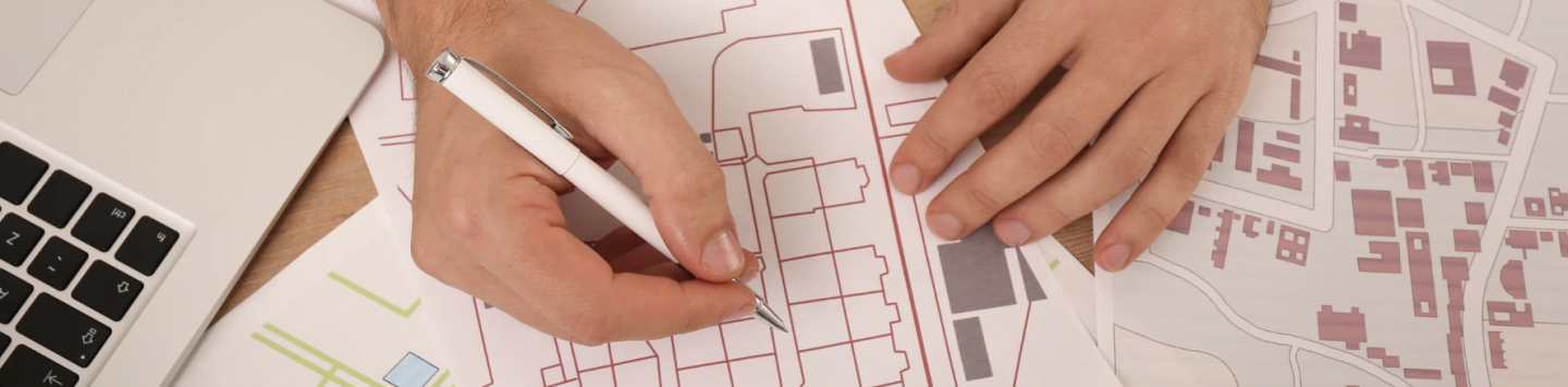
A GIS professional often starts their day by diving into spatial data. Using tools like ArcGIS or QGIS, they might analyze datasets to identify patterns, trends, or anomalies. For example:
- Urban Planner: Reviewing city maps to identify areas for sustainable development.
- Environmental Consultant: Mapping regions impacted by deforestation or climate change.
- Public Health Specialist: Analyzing geospatial data to track disease outbreaks and prevent their spread.
This foundational work helps organizations make informed decisions and develop strategic plans.
Midday: Collaborating with Teams
GIS professionals rarely work in isolation. Midday might include meetings or collaboration with colleagues across disciplines. For example:
- Disaster Response Teams: Coordinating with emergency responders to design evacuation plans.
- Real Estate Developers: Advising on site selection using geospatial insights.
- Transportation Experts: Optimizing traffic flow and improving public transit systems.
These cross-disciplinary collaborations showcase GIS skills’ versatility and relevance across industries.
Afternoon: Presenting Insights
As the day progresses, GIS professionals shift to presenting their findings. Effective communication is key, whether through interactive maps, dashboards, or reports. Tasks might include:
- Creating Visualizations: Designing maps that convey complex data in a clear, actionable way.
- Presenting to Stakeholders: Sharing insights with clients, government agencies, or internal teams.
- Developing Solutions: Proposing actionable strategies based on geospatial analysis.
The ability to transform raw data into meaningful insights is a hallmark of successful GIS professionals.
Career Paths in GISc
An online Master’s in Geographic Information Science from Kent State opens doors to a wide range of career opportunities, including:
- GIS Analyst or Specialist: Interpreting spatial data to inform decision-making in industries like healthcare, transportation, and urban planning.
- Geospatial Project Manager: Overseeing projects that rely on GIS technology, from infrastructure development to environmental conservation.
- Remote Sensing Specialist: Using satellite imagery to analyze changes in the environment or monitor natural disasters.
- Cartographer: Designing digital and print maps for government agencies, private companies, or nonprofits.
Graduates are prepared to thrive in roles across sectors such as government, real estate, public health, and environmental science.
How Kent State Prepares You for Success
Kent State’s online Master of Geographic Information Science program equips students with the technical expertise, analytical skills, and leadership qualities needed to excel in the geospatial field. Highlights include:
- Hands-On Training: Learn to use industry-standard tools like ArcGIS and QGIS.
- Real-World Applications: Engage in capstone projects that solve pressing global challenges.
- Flexible Format: Study 100% online, allowing you to balance education with work and personal commitments.
- Expert Faculty: Learn from professionals with extensive experience in GIS applications.
Make an Impact with GISc
A career in Geographic Information Science is more than just a job—it’s an opportunity to make a meaningful impact on the world. From addressing global challenges to improving local communities, GIS professionals play a critical role in shaping the future.
Start Your Journey Today
Ready to explore the exciting world of GIS? Learn more about Kent State’s 100% online Master of Geographic Information Science program at Kent State Online and take the first step toward a rewarding career.


