Environment Management
Kent State’s environment management programs equip students with the knowledge and tools needed to address critical ecological challenges. From Geographic Information Science (GISc) to sustainable resource management, these programs combine technical expertise with a focus on preserving and restoring natural systems. Explore how Kent State prepares future leaders to drive environmental solutions in fields like urban planning, disaster management, conservation, and climate resilience.
Related Blog Posts
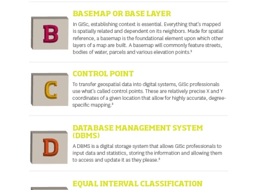
A definition. For all practical purposes, it’s the concise explanation of an element or experience. However, the true value of a definition extends far beyond this. What it also provides is the foundation for further knowledge—and this is critically important.
Geography professors at Kent State University see Hurricane Harvey’s unusual rainfall and the flooding in its aftermath as an opportunity to teach their students about meteorology, the health hazards left behind and the people whose lives have been changed forever.
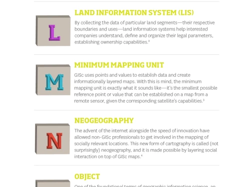
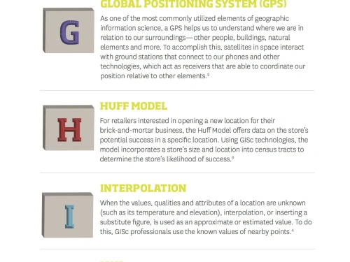
Every profession has a lexicon, turns of phrase that are unique to its processes and techniques. The world of geographic information science (GISc) is no exception.
As history marches forward, certain technologies are inevitably left behind in favor of what’s most beneficial to society in the moment or in the future. While leaving behind what’s no longer beneficial is important to technology and innovation, it also renders certain industries and careers as outdated—no matter how important they may have been at one time.
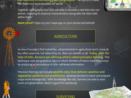
The geographic information science (GISc) field is a diverse and rapidly growing industry in which some roles are projected to grow by 14% by 2026,1 which makes the role of a GISc technician all the more vital. As we watch natural disasters unfold and the effects of human interference take shape on our planet, the need for GISc expertise and spatial technology prowess is featured daily, worldwide. Additional GISc experience can help environmental protection professionals make significant impacts in solving major global crises like water resources or climate change.
The world of geographic information science (GISc) is filled with unique acronyms, phrases and definitions. Because of this wide range of terminology for tools, technologies and techniques used in the field, a glossary of important terms is as vital as it is extensive.
Data has transformed the way we live. There is so much information available to us these days that we can use it to make pinpoint and informed decisions that go beyond educated guesses or hunches. Data can be leveraged in almost any area of life and industry. Thomas Cuyler, a high school senior at School Without Walls in Rochester, New York, has decided to do both.
Racial segregation in the United States of America can be a sensitive or controversial subject that many people prefer not to discuss. The Civil Rights Act of 1964 was enacted to prevent discrimination based on race, skin color or national origin, and since that time, it might be taken for granted that segregation based on race no longer occurs in the United States.

